
Kulgaon-Badlapur Selected For ‘Nakshe’ Land Mapping Project
State Government Aims for GIS-Based Urban Planning and Property Digitization Across 12 Towns
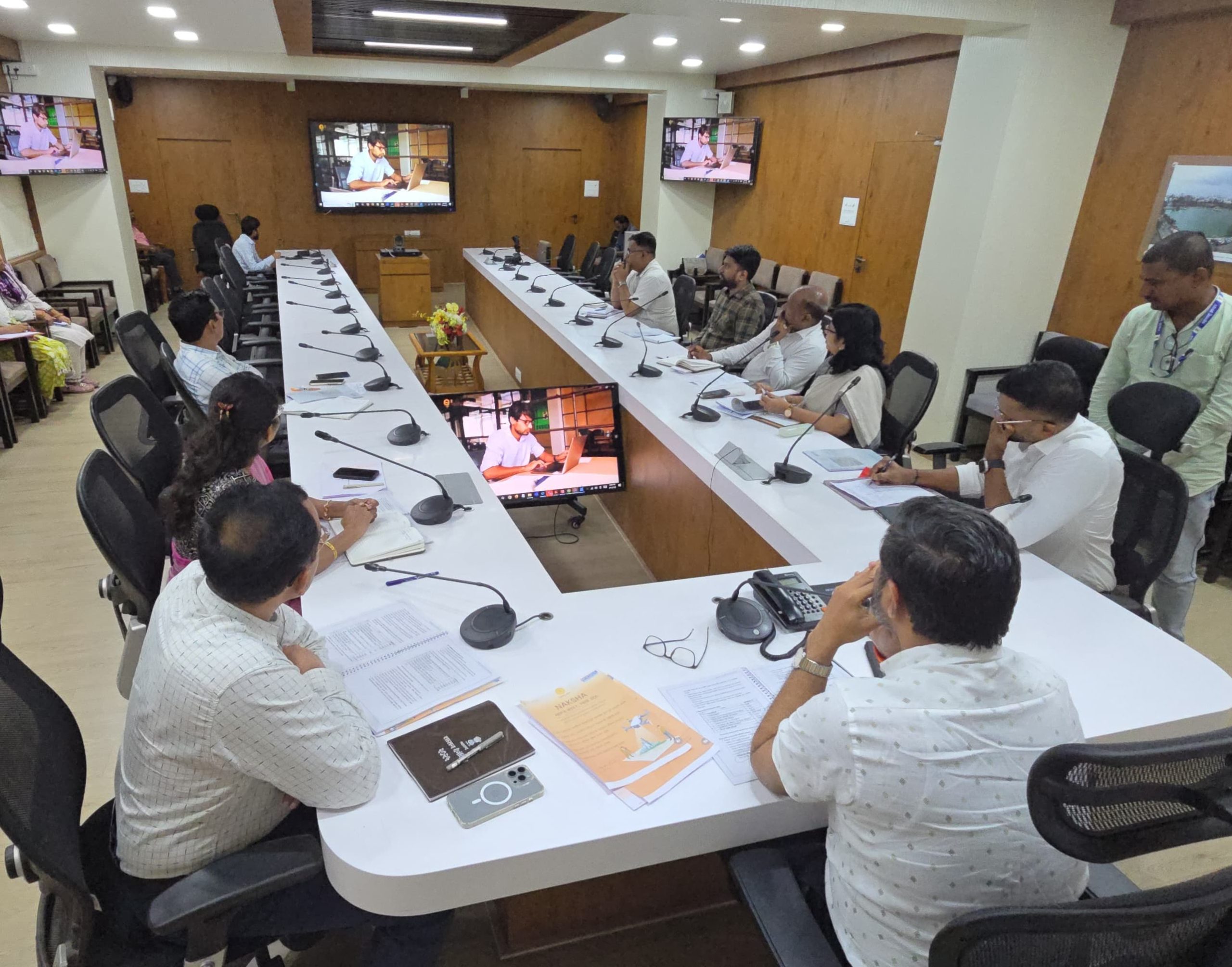
Kulgaon-Badlapur Municipal Council, located in Ambarnath taluka of Thane district, has been chosen under the Union Government’s pilot initiative ‘Nakshe’, which focuses on digitized land surveys and GIS-based urban planning. The announcement was made during a high-level review meeting chaired by Additional District Collector Harishchandra Patil at the Thane Collector’s Office.
Under the project, Survey of India, Land Records Department, and the Department of Land Resources (GoI) will collaborate with the local self-governing body to execute detailed property mapping and documentation for 12 towns. These include Kulgaon, Badlapur, Katrap, Shirgaon, Manjarli, Joweli, Kharvai, Manekwali, Belwali, Eranjad, Sonivali, and Valivali.
Core Objectives of ‘Nakshe’:
- Survey and mapping of all properties using GIS technology
- Generate individual property maps, including unit-wise ownership records in multi-storey buildings
- Update property tax registers, government land records, and ownership documents
- Prepare base maps for urban planning, enabling zoning, construction permits, and resource allocation
- Improve disaster management using 3D GIS-based mapping
- Boost Ease of Doing Business rankings through transparency in land-related documentation
The Additional Collector instructed all departments to ensure effective on-ground implementation of this flagship project, which is governed by provisions of the Maharashtra Land Revenue Act, 1966, and Urban Land Survey Rules.
A district-level committee, chaired by the Collector, has been formed to oversee the project. Its members include the Superintendent of Police, municipal commissioners, land record officers, and heads of relevant departments.
Benefits to Local Governments:
- Seamless urban planning with digital base maps
- Enhanced capacity for tax collection, infrastructure development, and encroachment monitoring
- Reduced administrative burden and better asset management
- Increased property liquidity, leading to improved municipal credit ratings and state GDP growth
Citizen Impact:
- Residents to receive GIS-backed property cards
- Property boundaries fixed using latitude and longitude
- Easier access to loans, reduced legal disputes
- Protection of citizen ownership rights
The project is expected to digitally transform the urban governance landscape and bring lasting benefits to both the administration and local communities.