
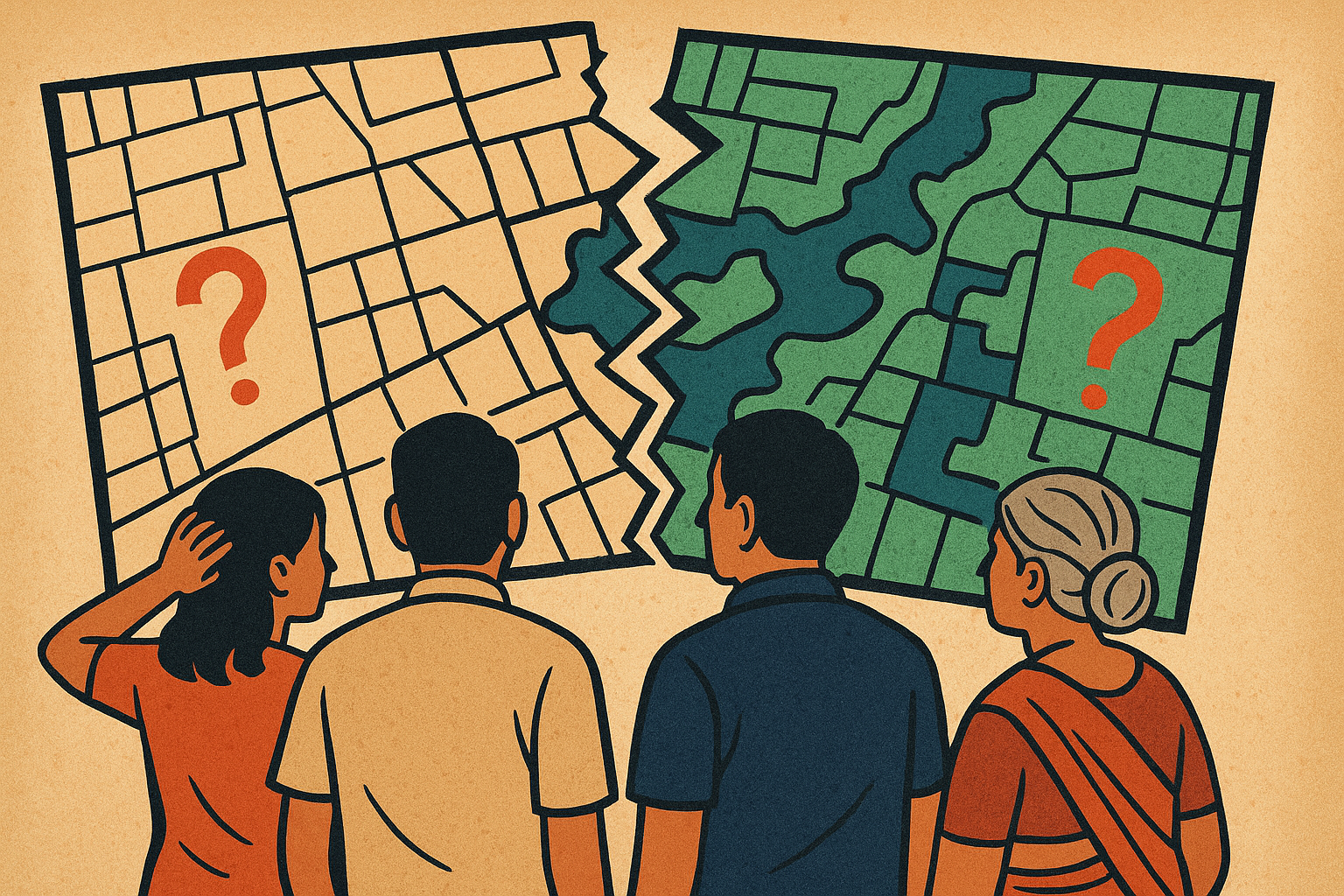
Map Mismatch: Mira Bhayandar Land Records (Gat-book) Mess Exposed
Gat-book Map mismatch in Mira Bhayandar creates housing chaos as DILR and TILR records conflict with 7/12 extracts
7-12 and Gat-book Boundaries and area mismatch in Mira Bhayandar stems from no communication between TILR and Talathis, no audits, no clarification
In a significant revelation that could shake up the real estate sector of Mira Bhayandar, a recent survey by Yiippee News Network (YNN) has confirmed that official maps issued by the Department of Land Records (DILR) and Tehsil Inspector of Land Records (TILR) and Tehsildar offices are riddled with discrepancies when compared to 7/12 extract records. The map mismatch in Mira Bhayandar has resulted in stalled housing developments, legal ambiguities, and mounting frustration among both residents and builders.
Yiippee News Network (YNN)undertook this survey after receiving complaints from 10 cooperative housing societies across the region regarding map mismatch. The findings were striking: the recently published gat books — official compilations of land parcel records — did not align with actual possession areas or documentary evidence held by these societies. In many cases, the physical boundaries of properties were at odds with what is reflected on government maps.
The situation is further compounded by the lack of accountability from public authorities regarding Map Mismatch. Despite RTI applications filed with the Department of Land Records (DILR), Tehsil Inspector of Land Records (TILR), and Tehsildar offices, YNN reports that officials have offered no clear answers, often deflecting responsibility. One official admitted informally that many of these maps date back to the British era, and when pressed on why they haven’t been updated, the conversation ended abruptly.
Complicating matters, between 2000 and 2010, a government initiative aimed at converting land survey data into CTS numbers was left incomplete after the contractor defaulted or whatsoever happened. Since then, no official stance or corrective action has emerged, leaving societies grappling with uncertainty. In several instances, the municipality acquired land for road projects without issuing formal notices to affected societies, adding to the confusion.
The fallout has been severe. Many housing projects have halted, with builders unwilling or unable to proceed amid unclear land titles and boundary disputes. Prospective homeowners are left in the dark about the actual square footage they will eventually receive, with many focusing solely on getting a roof over their heads, unaware of the legal quagmire beneath.
Local experts suggest that a detailed land audit is critical, alongside the digitization of all land records and maps to minimize manual errors and fraud. Some activists have urged the government to set up a special task force comprising members from the Revenue Department, Urban Development Ministry, and independent surveyors to address the issue holistically of Map Mismatch. The formation of a joint committee to review disputed land parcels, involving both government officials and society representatives, could provide a transparent mechanism for resolution.
YNN has announced plans to conduct further surveys and investigations to gather more facts and evidence on Map Mismatch. The goal is to provide the public with clear, verified information and to press the administration to take a decisive stand on rectifying these long-standing land record discrepancies. The news network also plans to host public forums and panel discussions with legal experts, urban planners, and affected citizens to bring greater awareness and advocacy to the issue.
For more information on this issue, visit Maharashtra Land Records, RTI Maharashtra, and National Land Records Modernization Programme.
The burning questions are:
Why have the authorities failed to update century-old maps despite decades of urban expansion? What concrete timeline will the government commit to for correcting these critical land records?